AM Headlines
- Pesky Wedge Sets Up
- Storms Possible South
- Heat Cranks Up Late Week
- Rain and Storms Sunday
- Cooler Next Week
Discussion
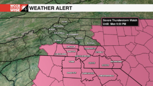
Right now, we’re locked in a classic Carolina wedge, meaning cool stable air is trapped near the surface. That will give us more drizzle, fog and big temperature divide today — north of I-85 will get stuck in the 50s and 60s while areas south will reach the upper 70s to near 80. The clash near I-85 could trigger a few isolated storms late today. The severe risk looks low, but it’s worth watching.
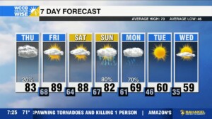
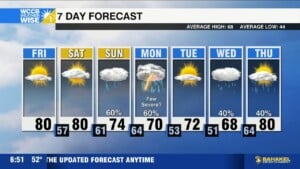
The wedge starts to erode Thursday, and from there the heat will build in fast. Friday and Saturday will be hot and dry with highs in the upper 80s to near 90. We’re in record territory and if we reach 90, it will be a top 5 earliest 90 degree day of the season. With gusty winds and low humidity, fire danger could increase as well.
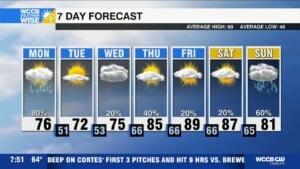
Important Reminder: The warm temps may make you feel like it’s time to start planting, but hold on a little longer. Next week will be cooler with potential morning frost. Safer to plant after April 15, our average last frost date of the season.
A cold front moves through late Sunday bringing scattered showers and a few storms. Instability looks limited, so the severe threat is low, but it will be something to watch over the next few days.


